Çardak
Named after an arbour.
A Turkmen village at the foot of Mount Maymun, where people built a çardak — a shaded arbour — in front of their houses to keep livestock out of the sun. Travellers on the caravan road called it "the village with arbours", and the name stuck.
History
In the Middle Ages Çardak was a small village whose people lived by herding. At the foot of Mount Maymun, to shelter their animals from the sun, villagers built shaded arbours — çardak — in front of or beside their houses. Villagers passing along the caravan road just south of this small Turkmen village called it "Çardaklı Köy", the village with arbours. The local Turkmen adopted the name themselves, and so the village remained Çardak.
Under the Seljuks, Çardak was a frontier fortress and a centre of Seljuk defence; the Hanabat caravanserai in Çardak dates from that period. In the era of the Anatolian principalities the area passed first to the İnançoğulları and then to the Germiyanoğulları; the Germiyan principality was annexed to the Ottoman Empire by Sultan Bayezid I. After the Battle of Ankara, Timur took the area and some of his soldiers stayed in the caravanserai for a few years. When Timur withdrew east the age of principalities began again, but briefly. In 1429 the whole area joined the Ottoman Empire and was attached to the Sanjak of Aydın.
When administrative divisions were redrawn in the Republican era, Çardak — then a small village — was attached in turn to Dinar, to Honaz and then to the sub-district of Bozkurt. In 1958 it was attached to the province of Denizli; Çardak is a district of five villages and two towns.
Geography
Çardak lies in the east of Denizli province. It is bordered by Afyon's Dazkırı district to the east, Bozkurt to the west, Çal to the north, Başmakçı to the south-east and Burdur's Yeşilova district to the south. Its area is 400 km².
Between the Söğüt range to the south and Mount Maymun to the north, with Mount Kültü south of the village of Çaltı, lies the Hambat plain. This plain of about 50,000 hectares has no permanent river; streams fed by springs on its northern edge drain into Lake Acıgöl, a closed basin. Nothing lives in the lake, which is one to two metres deep and largely dries up in summer. Sodium sulphate is extracted from Acıgöl and used in the detergent, cosmetics, glass, paint and leather industries, giving it economic value.
Çardak has a subtropical transitional climate with hot dry summers and mild winters. Because a transitional climate prevails, Mediterranean plant species meet those of the steppe and Central Anatolia here; they are seen on the steppe-like hills and pastures and on the slopes of Mount Maymun, where the salinising effect of Acıgöl also plays a large part.
According to the 2000 census the district centre had 5,656 inhabitants and the district 11,253 in total.
Map
Çardak district centre: 37.826° N, 29.670° E. Open in Google Maps →
The book
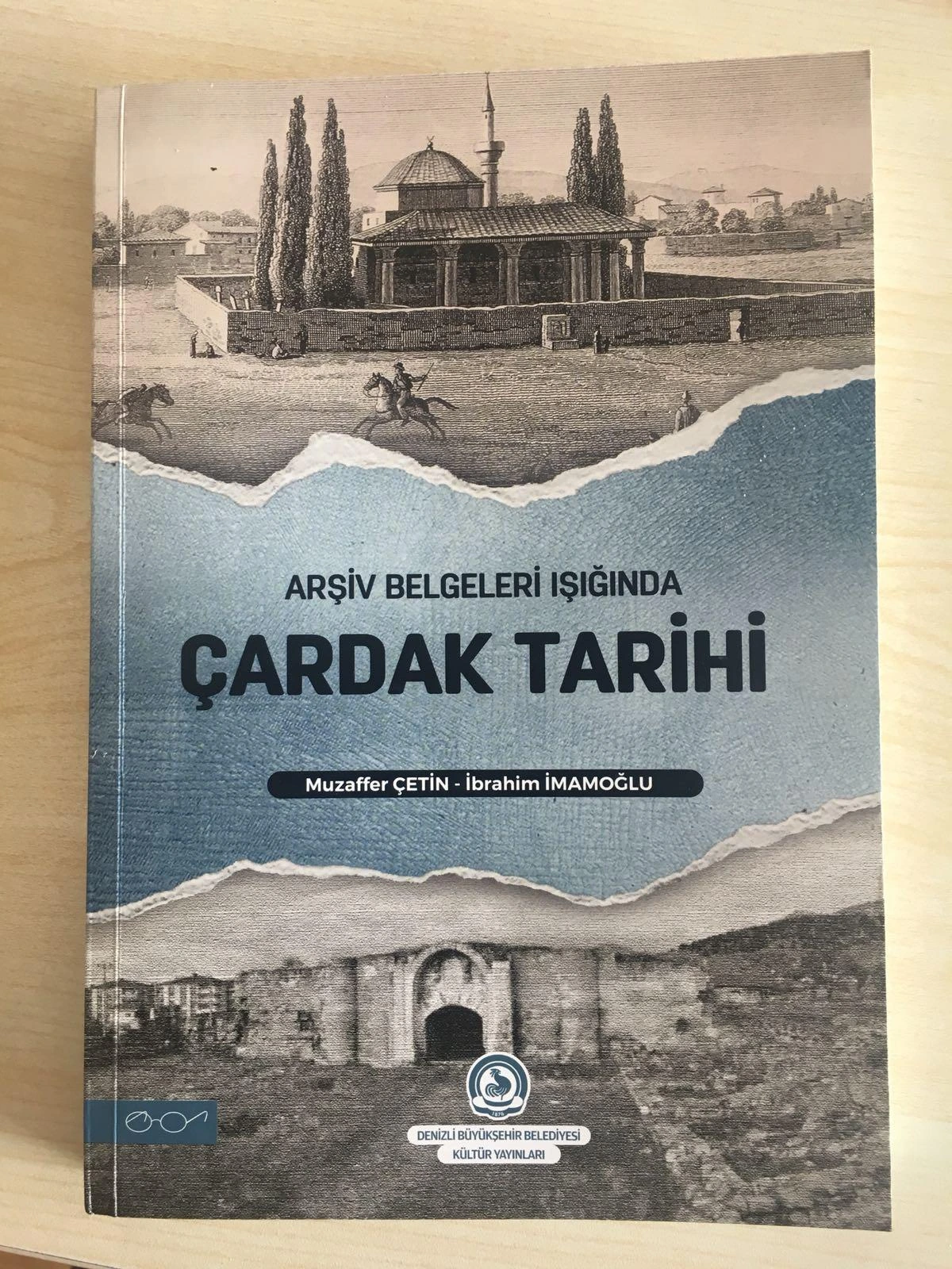
A History of Çardak in the Light of Archive Documents (Muzaffer Çetin – İbrahim İmamoğlu, 2023), prepared with the association's support, is the district's first comprehensive history, in Turkish; it was presented at the Denizli Book Fair. To obtain a copy: [email protected].
Çardak's green
The bare, steppe-like slopes of Mount Maymun are why the word "reforestation" is in the association's name. Four memorial forests have been planted since 2015. Reforestation →